
The United States continues to endure extreme weather, with a heatwave scorching millions across the Upper Midwest and Northeast, while a tropical storm drenches Texas and northern Mexico.
The national weather service projected that the heatwave would reach its peak in the eastern Great Lakes, New England, the Ohio Valley, and mid-Atlantic regions over the upcoming weekend.
In a weather advisory issued on Thursday, June 20, the service warned, of thunderstorms moving across parts of the northern Plains and Upper Midwest were expected to bring heavy to excessive rainfall.
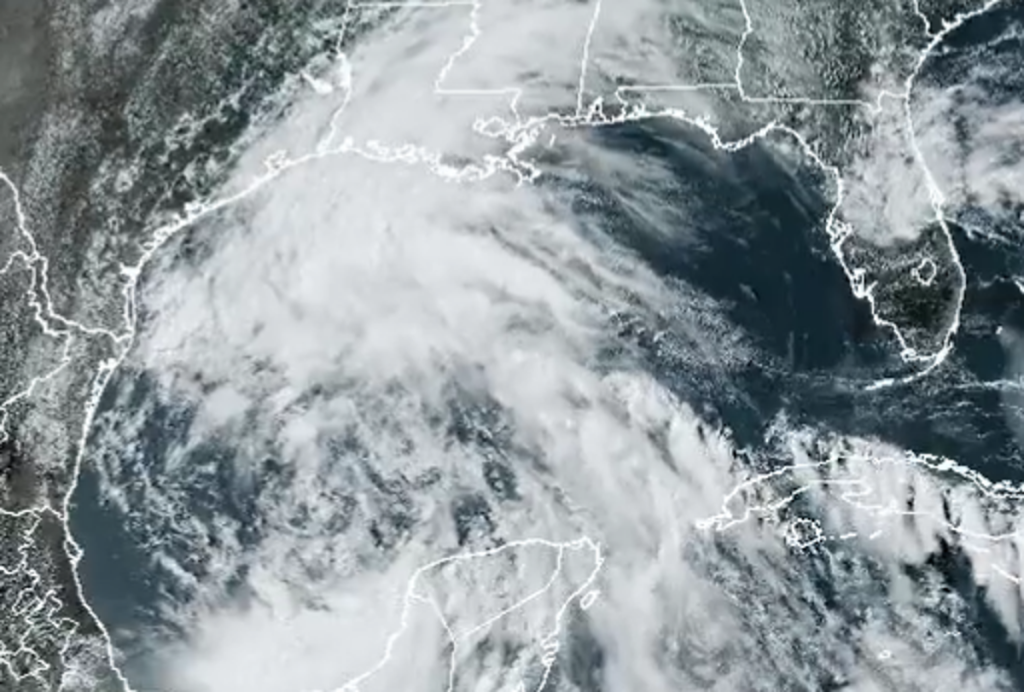
A tropical cyclone building in the Gulf of Mexico named Alberto is forecast to bring heavy rain, flooding threats and gusty winds to south Texas but “gradually decrease” as it makes landfall in Mexico and dissipates.
An air-quality alert was issued for New York City as an early-season heatwave continues to impact residents. Highs are expected to reach 92°F (33°C) on Thursday, with RealFeels nearing 100°F (38°C). Conditions are anticipated to ease over the weekend.
In New Mexico, a wildfire devastated the village of Ruidoso on Tuesday, killing two people and destroying 1,400 buildings. Governor Michelle Lujan Grisham has requested that the White House declare the fires a major disaster.
In Caribou, Maine, high temperatures reached 96°F on Wednesday, tying a record set in 2020. Meanwhile, in Bangor, Maine, Wednesday’s high of 95°F matched a record last set in 1995. Bangor’s all-time high temperature record is 104°F, set on August 19, 1935.
The soaring temperatures are attributed to fluctuations in the jet stream, allowing heat domes, or persistent regions of high pressure, to settle over an area.

